

Abruzzo, Lazio and Molise National Park
Forca d'Acero, the pass between Lazio and Abruzzo
The pass, at 1,538 meters, separates San Donato Val di Comino, in Lazio, from Opi, in Abruzzo. From here, hiking and biking trails, free-flying launch sites, and, in winter, snowshoeing itineraries begin.
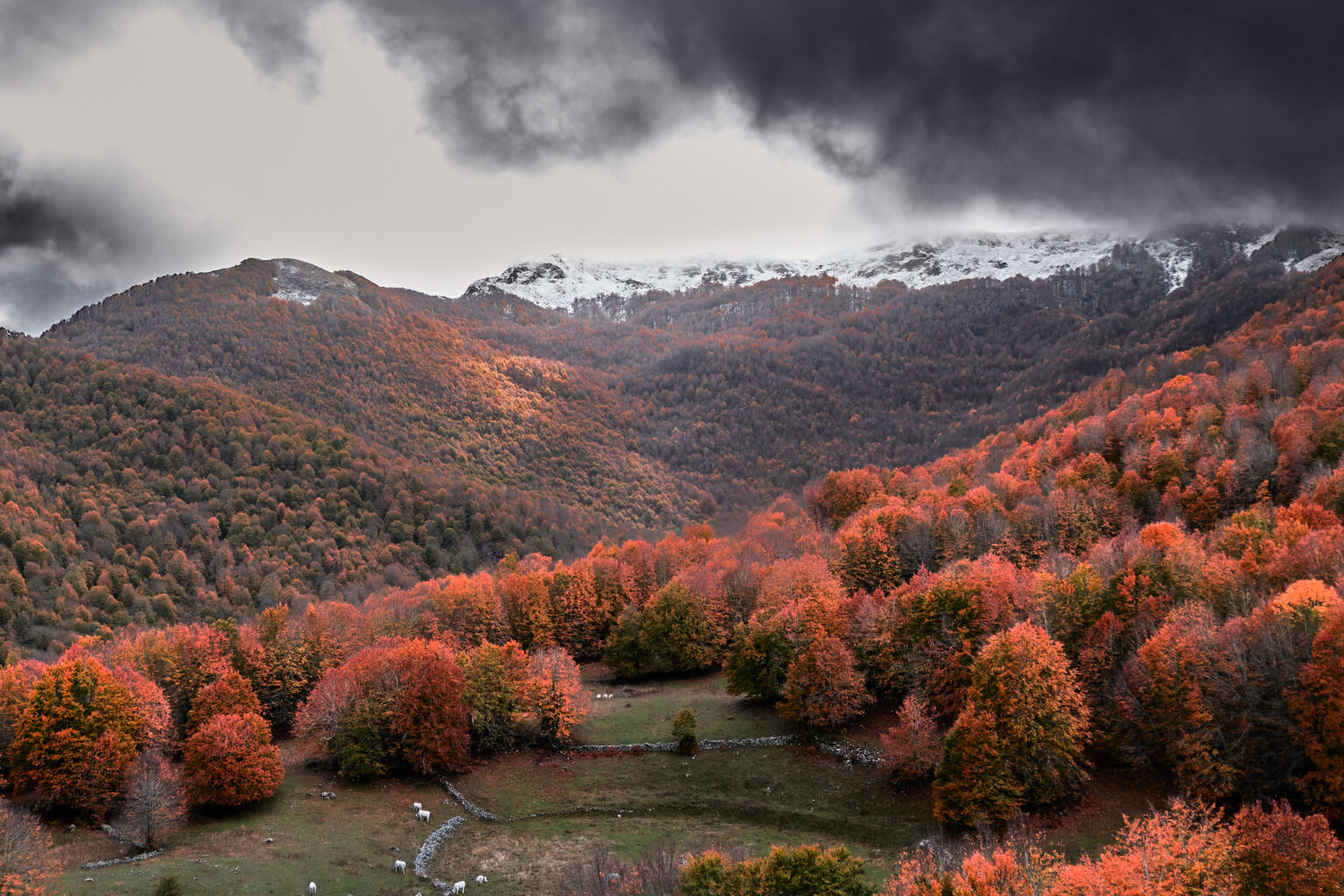
The Foliage Tracker, day by day
The full-page map, from September 15th to November 15th. Choose the day, tap a line, and read when the forest changes.
Open the Foliage Tracker →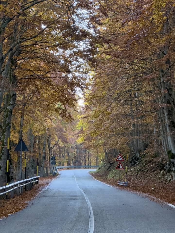
Choose your experience
What do you want to do in Forca d'Acero?

Trekking
Beech forests, clearings, and scenic overlooks: five itineraries from the pass.
Discover trekking →

Bike trail
From the family-friendly C1 to the 28.2 km climb from Sora, also available by e-bike.
Discover the routes →

Paragliding and hang gliding
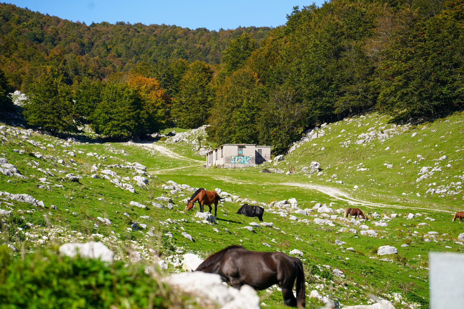
Take off near the pass and see as far as the Tyrrhenian Sea on clear days.
Discover the flight →
Ski touring and snowshoeing
Three loops through snow-covered beech forests, from 6 to 14.75 km.
Discover the itineraries →
The pass
What location are you in?
The pass has two sides, one in Lazio and one in Abruzzo. Choose which side.
From the Lazio side, the SR509 climbs to the pass, at 1,538 meters. Downstream, you'll find restaurants, accommodations, and the Viale Marconi webcam.
Fall
The foliage of Forca d'Acero, in red and gold
Between October and November, maples and beech trees turn from green to yellow, orange, and copper. The best times for walking and photography are morning and late afternoon.

Why go up?
Why climb to Forca d'Acero?
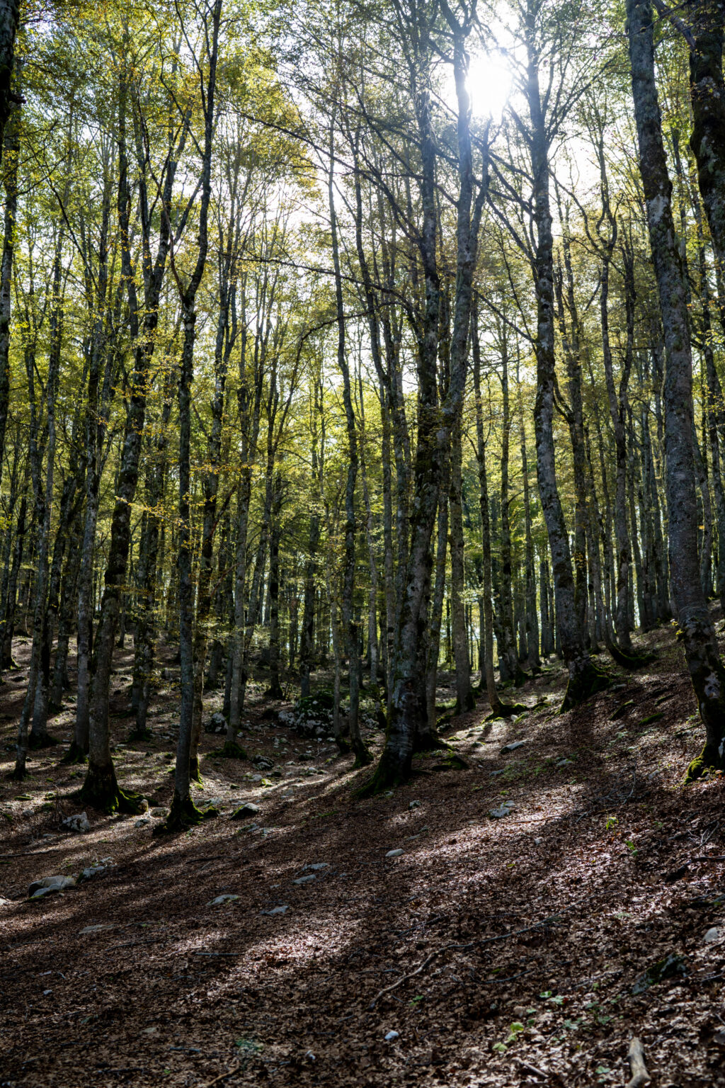
A view on both sides
From the take-off you can see the valleys on both sides and, on clear days, the Tyrrhenian Sea.
Trails for every level
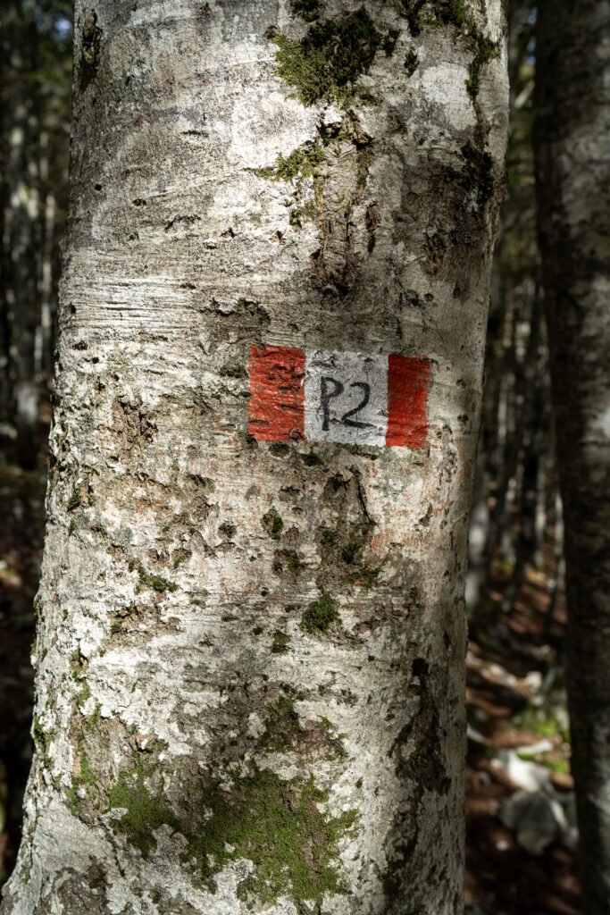
From P2 of 1.3 km to the Monte Tranquillo ring of 14.75 km, with a 649 m difference in altitude.
Centuries-old beech forests
Some are recognized by UNESCO and change their appearance completely after a snowfall.
Sports in every season
Trekking and cycling in summer, snowshoeing and backcountry skiing in winter, and free-flying in thermals.
A climb from the Giro d'Italia
The road has been a stage of the Giro d'Italia four times, most recently in 2015.
Webcam and weather
Watch the pass live
Snow, clouds and temperature before leaving.
Services
Eat, sleep, pedal

Restaurants
Seven partner locations, one on the pass and six in San Donato.
Discover the premises →

Accommodations
Two vacation homes and a resort near the pass, with partner discounts.
Discover the accommodations →
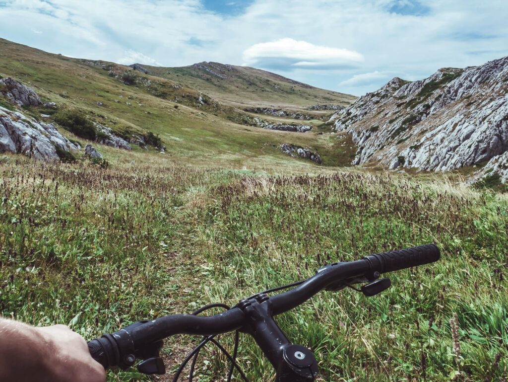
E-bike rental
Climbs and long routes with pedal assistance, from San Donato.
Discover the rental →
Plan your visit
Everything you need before leaving
The Foliage Tracker
When does the forest change, at what altitude?.
Open the tracker →
Reach the pass
By car, train, bus, or plane.
How to get there →
Watch the pass live
Snow, clouds and temperature before leaving.
Watch the webcams →
History, flora and fauna
The territory between Lazio and Abruzzo.
Discover the territory →
Partner
Who welcomes you and accompanies you





Share your
experience
#visitsandonatovaldicomino
Tell us about your day at the pass: the best photos end up in our gallery.