

Sentieri del Parco · Facile
Monte La Felcia Ring
Sei chilometri con 100 metri di dislivello: un anello facile, adatto anche alle ciaspole, per una mezza giornata sul valico.
The route
What to expect
L'anello di Monte La Felcia misura 6 km e sale di circa 100 m: è un percorso facile, senza passaggi tecnici. Richiede circa mezza giornata, soste comprese.
In inverno è uno dei tre itinerari proposti per sci escursionistico e ciaspolate sul valico, il più semplice dei tre.
In short
Useful information
Along the way
What to see
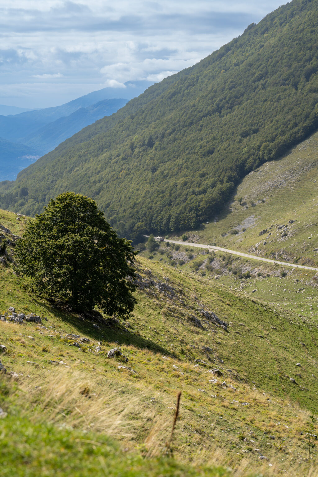
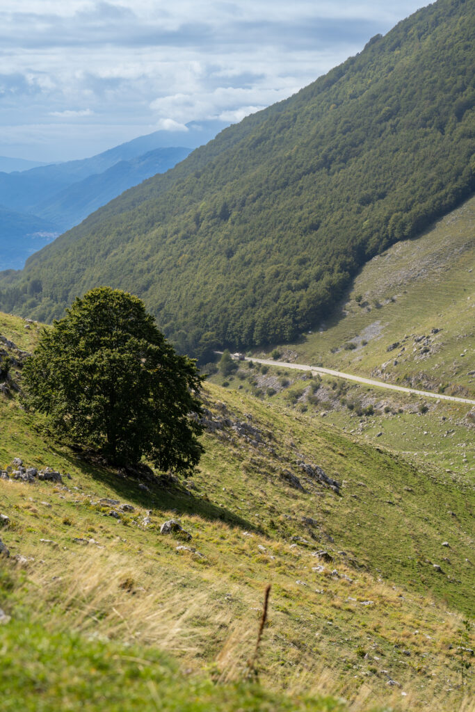
Il faggio isolato
Un albero solitario su un pendio erboso, con la valle sullo sfondo.
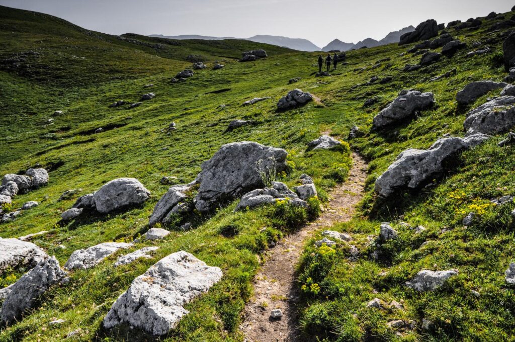
I prati in quota
Pendii aperti dove la vista arriva fino alle montagne della valle.
Il silenzio
Poco frequentato, è il percorso giusto per chi cerca tranquillità.
Before leaving
Check the weather and webcam
The weather changes quickly at high altitude. Check the pass webcams and the weather forecast before ascending, and bring water and layered clothing.
Info
A good advice
Conditions change with the season: in winter the trails are snow-covered and can be explored with snowshoes.
Other routes
Continue from here
Continue the exploration
Other experiences on the pass

Bike trail
From C1 for families to the climb from Sora, even by e-bike.
Discover the routes →
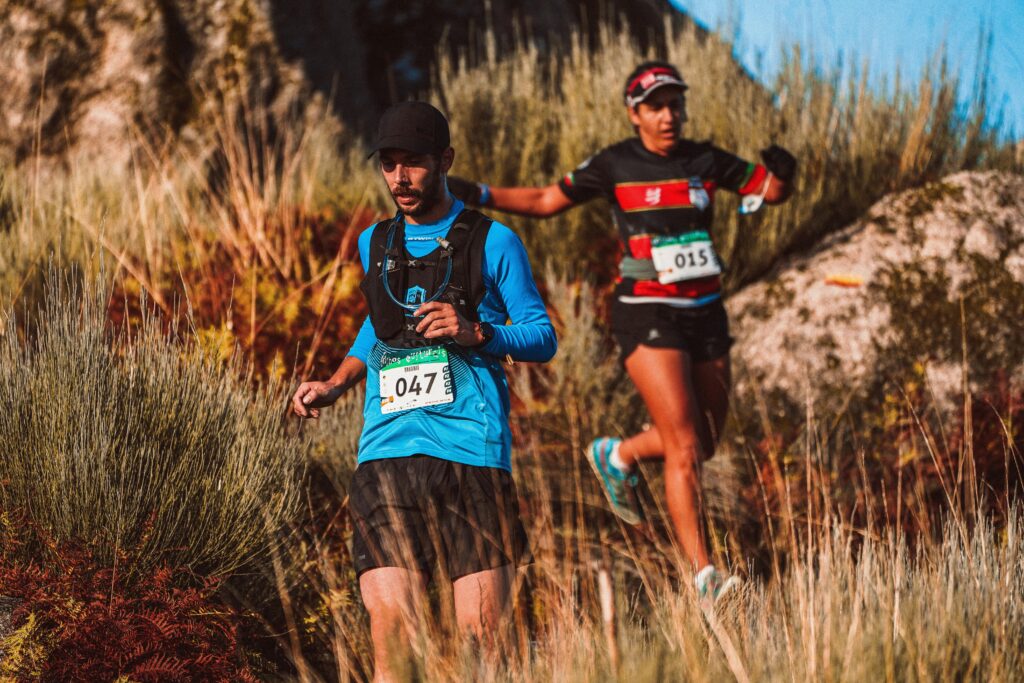
Trail running
High-altitude rings and the Valle Fredda, shaded in summer.
Discover the routes →
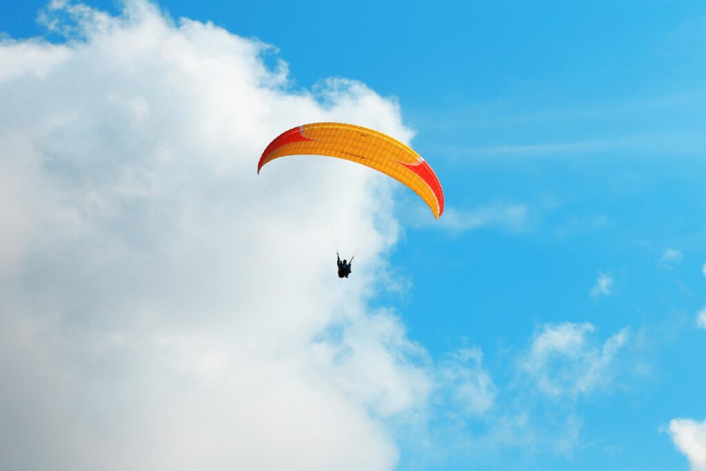
Paragliding
Takeoff near the pass, with a view all the way to the Tyrrhenian Sea.
Discover the flight →
Plan your visit
Everything you need before leaving
The Foliage Tracker
When does the forest change, at what altitude?.
Open the tracker →
Reach the pass
By car, train, bus, or plane.
How to get there →
Watch the pass live
Snow, clouds and temperature before leaving.
Watch the webcams →
History, flora and fauna
The territory between Lazio and Abruzzo.
Discover the territory →
Partner
Who welcomes you and accompanies you






Share your
experience
#visitsandonatovaldicomino
Tell us about your day at the pass: the best photos end up in our gallery.