

Park Trails · Media
Trail P1, from Forca d'Acero to San Donato
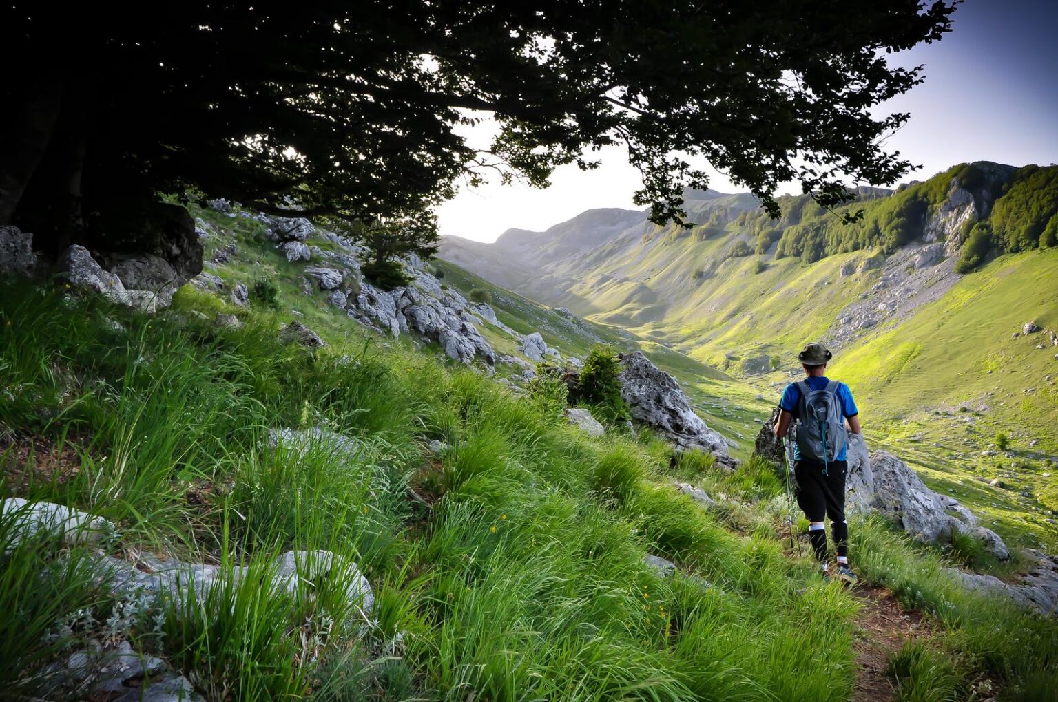
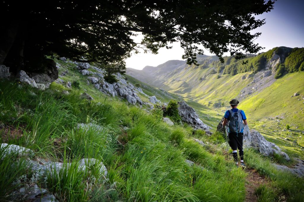
Seven kilometers connecting the pass to the village of San Donato: a hiking trail with the valley always in front of you.
The route
What to expect
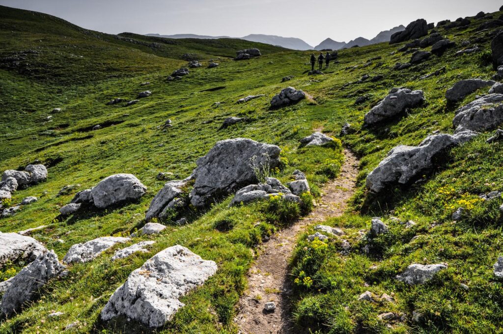
P1 connects Forca d'Acero and San Donato Val di Comino for 7 km. It's a hiking trail (E): good fitness and hiking boots are required.
Before leaving, consider how to organize your return: it is a connecting route, not a circular one.
In short
Useful information
Along the way
What to see
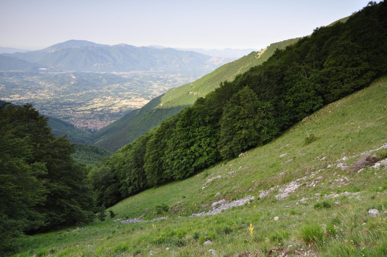
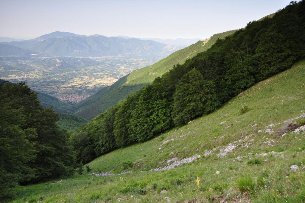
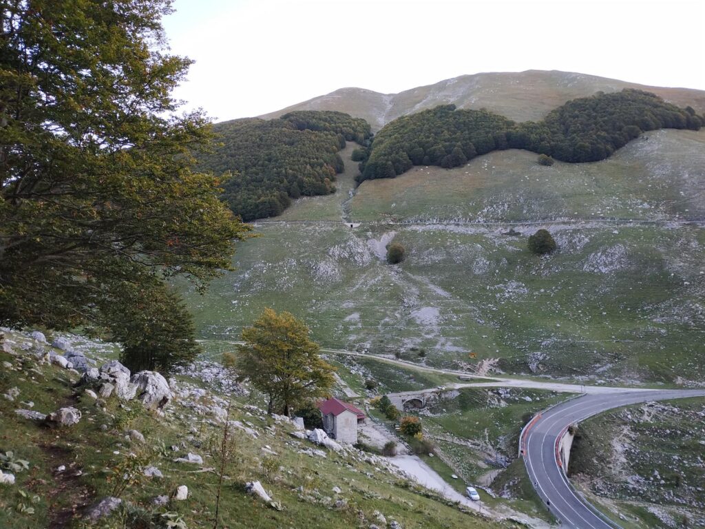
The path on the slope
A downhill passage with the Comino Valley in the background.
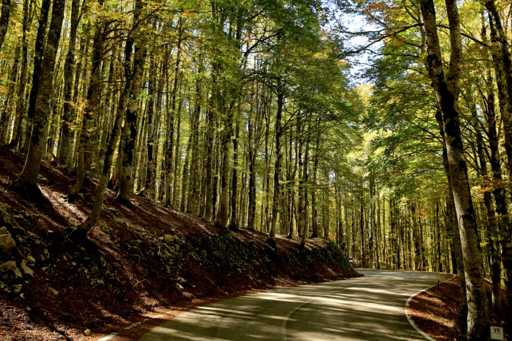
The woods on the slope
Stretches of woodland alternating with open meadows.
San Donato Val di Comino
The village that ends the route, at 728 m.
Before leaving
Check the weather and webcam
The weather changes quickly at high altitude. Check the pass webcams and the weather forecast before ascending, and bring water and layered clothing.
Info
A good advice
Conditions change with the season: in winter the trails are snow-covered and can be explored with snowshoes.
Other routes
Continue from here
Continue the exploration
Other experiences on the pass

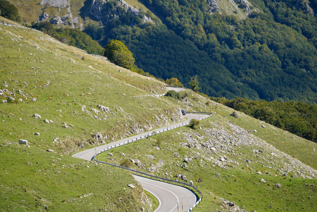
Bike trail
From C1 for families to the climb from Sora, even by e-bike.
Discover the routes →
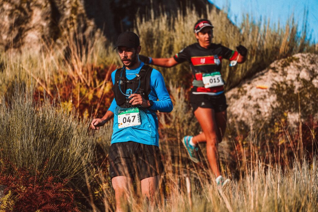
Trail running
High-altitude rings and the Valle Fredda, shaded in summer.
Discover the routes →

Paragliding
Takeoff near the pass, with a view all the way to the Tyrrhenian Sea.
Discover the flight →
Plan your visit
Everything you need before leaving
The Foliage Tracker
When does the forest change, at what altitude?.
Open the tracker →
Reach the pass
By car, train, bus, or plane.
How to get there →
Watch the pass live
Snow, clouds and temperature before leaving.
Watch the webcams →
History, flora and fauna
The territory between Lazio and Abruzzo.
Discover the territory →
Partner
Who welcomes you and accompanies you






Share your
experience
#visitsandonatovaldicomino
Tell us about your day at the pass: the best photos end up in our gallery.